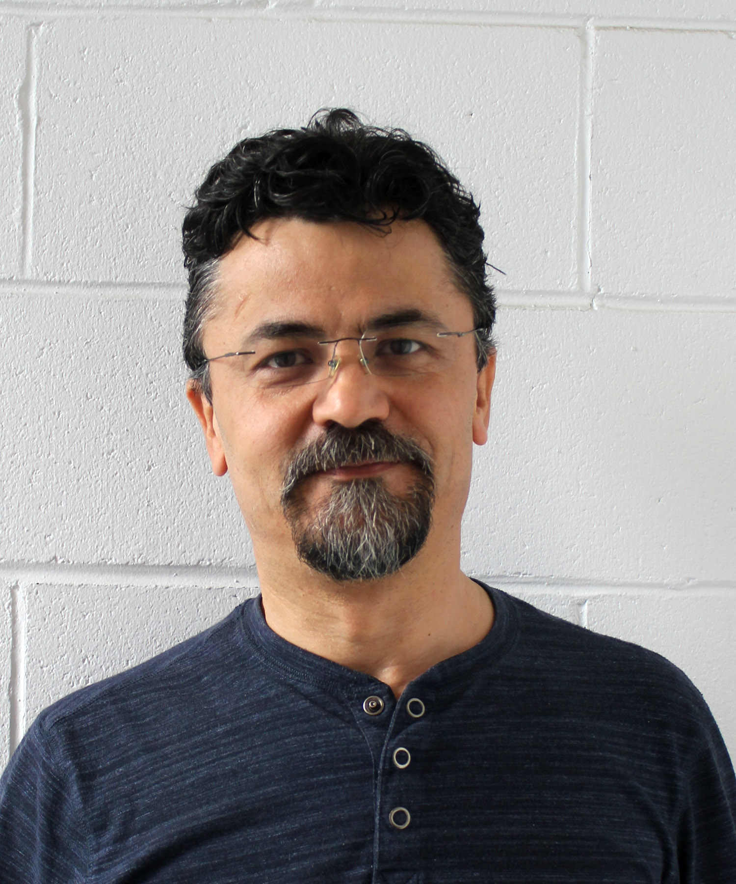
Avram Sandor
B.Sc. For., Advanced Dipl. GIS (Hons.)
Avram joined B.A. Blackwell & Associates Ltd. in 2006. He has more than 15 years experience applying spatial analysis and GIS technologies in a wide range of areas, including forestry, agriculture, municipal government operations, urban planning, transportation, and energy. Avram’s extensive data analysis of spatial and non-spatial information and GIS modeling experience includes but is not limited to fire behavior and risk assessments; land cover mapping and accuracy assessment; LiDAR data processing and analysis; strategic wildland/urban interface plans; spatial decision support model design and GIS tools development; web-based mapping application development and deployment; and database design, program reporting, monitoring, and evaluation. Avram’s GIS expertise, complemented by his previous forest engineering and wildlife research experience provides him with a good understanding of the application of GIS in a wide range of natural resource sector projects.
Avram currently oversee the firm's GIS activity and its IT infrastructure. He holds a Bachelor of Science in Forestry and a BCIT Advanced Diploma in GIS
