URBAN FORESTRY
Urban Forests play an essential part in the health and resilience of urban areas. The benefits of a healthy urban forest include increased air quality and stormwater infiltration, better physical and mental health for residents, and increased property values. Maintaining these benefits while reducing the risks associated with living or building near trees requires people with a broad range of education and experience. Our staff’s knowledge and skills are diverse and span multiple disciplines; including, but not limited to urban ecology, arboriculture, horticulture, entomology, and pathology. Our team includes ISA Certified Arborists, Tree Risk Assessors (TRAQ), and Wildlife Danger Tree Assessors (WDTA). Additionally, our firm has Qualified Environmental Professionals (QEPs) with experience completing Wildfire Hazard, Riparian Areas Protection Regulation, and Environmentally Sensitive Area assessments for development permit applications. We provide services to local government, First Nations, and private clients.
OUR SERVICES INCLUDES
Arborist Assessments
- Tree management plans for construction/development;
- Tree risk assessments (TRAQ and WDTA);
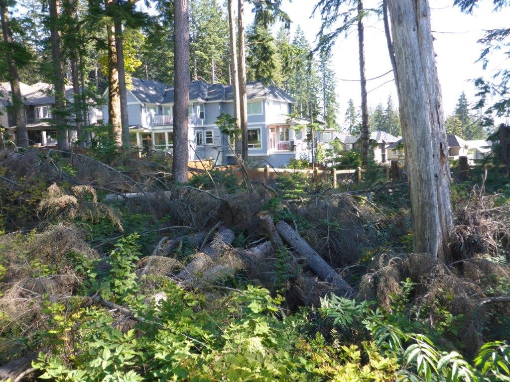
- Windthrow hazard assessments;
- Tree maintenance plans.
Wildfire Hazard Management
- Wildfire Hazard Development Permit Area (DPA) assessments and reporting;
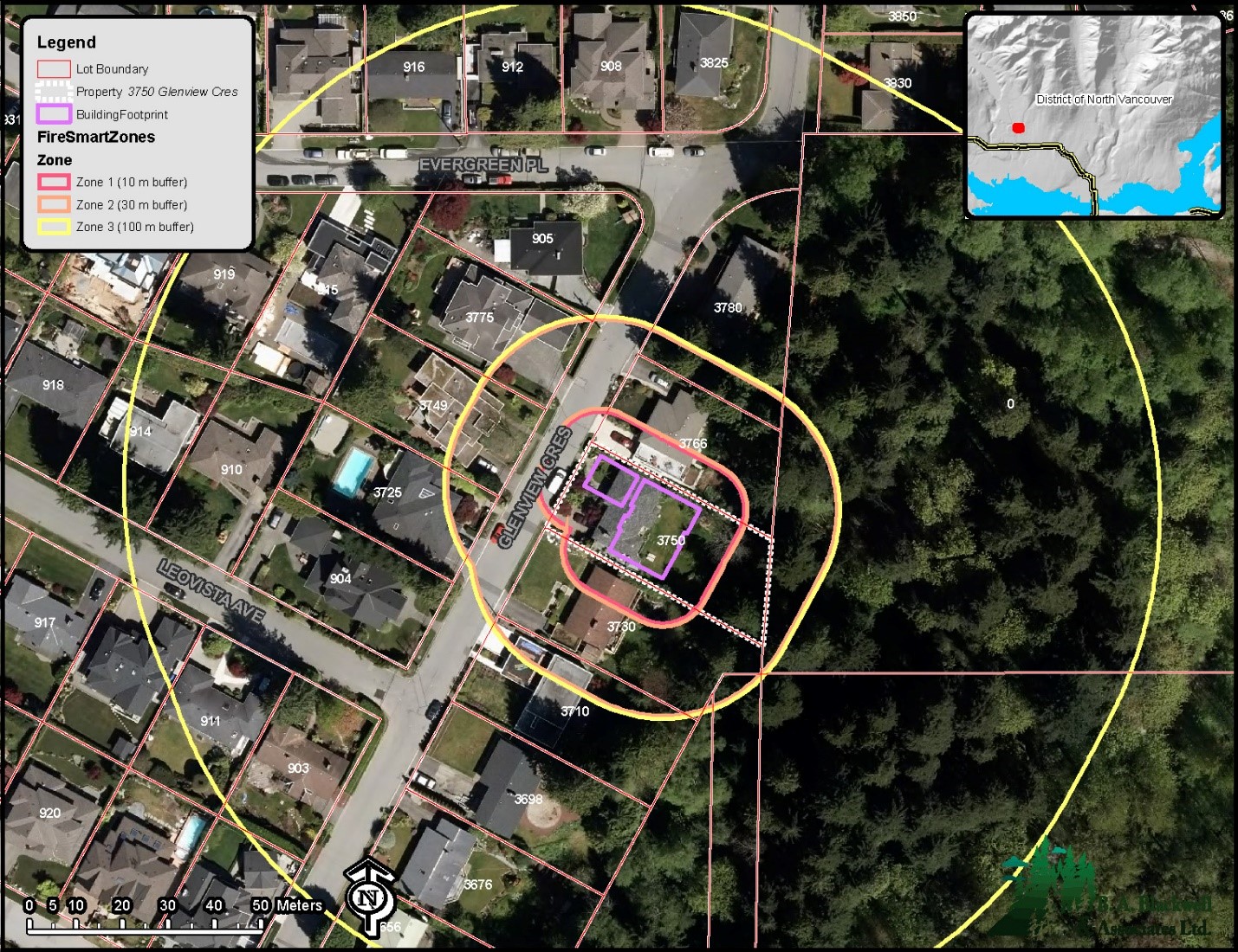
- FireSmart assessments for existing and proposed buildings;
- FireSmart Neighbourhood assessments;
- FireSmart presentations and workshops;
- Wildfire hazard assessments for interface, rural, municipal, and institutional / industrial settings;
- Community Wildfire Resilience Plans for First Nations and local government.
Urban Forestry
- Urban forest strategies and management plans;
- Urban forest operational plans;
- Tree inventories, risk assessments and management plans;
- Mapping and canopy cover analyses with a variety of remote sensing applications;
- Urban and rural forestry analyses and benefits assessment;
- Climate change mitigation and adaptation plans.
Urban Ecology
- Sensitive Ecosystems and Species assessment;
- Riparian Areas Protection Regulation (RAPR) assessments and reporting;
- Streamside Protection and Enhancement (SPEA) planning;
- Environmental Development Permit Area (DPA) assessments and reporting;
- Ecological site classification;
- Short- and long-term environmental monitoring plans;
- Ecosystem restoration plans;
- Invasive plant removal and management plans.
Areas Serviced:
Metro Vancouver, across British Columbia, Canada, and beyond.
Corporate Experience:
- Arboriculture field assessment services and arborist reports for municipal and private clients;
- Tree inventories and/or tree risk assessments for municipal clients, strata corporations, home-owners and developers;
- Tree inventory for the Resort Municipality of Whistler’s Village Stroll to establish basesline conditions for the management of the existing tree populations and to identify new tree planting locations;
- Windthrow hazard assessments completed for City of Coquitlam Streamside Protection and Enhancement Areas in Burke Mountain;
- Bi-annual tree risk assessments along the Valley Trail system for the Resort Municipality of Whistler, BC;
- Tree Inventory and Hazard Tree Assessments completed for the City of Burnaby and BC Hydro's Buntzen Lake and Hayward Lake Recreation Areas;
- Tree Management Plan developed for the Whistler Village 2010 Olympic and Paralympic Celebration Centre.
- Fuel management prescriptions for Community Wildfire Resilience Plans (CWRPs) for the Districts of North and West Vancouver, City of North Vancouver, City of Port Moody, and the District of Mission;
- FireSmart assessments for the Fraser Valley Regional District, Squamish, and Bowen Island;
- FireSmart Neighbourhood Assessments for the Regional District of Okanagan – Similkameen;
- Post-wildfire rehabilitation analyses, mapping and planning for the District of North Vancouver and Metro Vancouver’s Watershed Protection department;
- Development of Wildfire Hazard Development Permit policy, guidelines and mapping for the District of North Vancouver, City of Maple Ridge, City of Kelowna, and District of Squamish;
- Completion of over 180 FireSmart Wildfire Hazard DPA assessments in Metro Vancouver and the Resort Municipality of Whistler.
- RAPR assessments in Metro Vancouver, including but not limited to the District of North Vancouver, City of Maple Ridge, and District of West Vancouver.
- District of North Vancouver Forest Resilience Plan;
- City of Vancouver Urban Forest Strategy (Phase 1);
- City of London, ON Urban Forest Strategy;
- City of London, ON urban forestry operations review;
- City of Kelowna Urban Forest Strategy;
- Urban Forest Health Strategy and Management Plan for the Regional District of Central Okanagan - Parks Services department.
- City of Coquitlam Streamside Protection and Enhancement Areas (SPEA) Policy Review and Recommendations;
- District of North Vancouver Framework for Ecosystem Based Management; Stanley Park Wind Storm Restoration and Implementation Strategy;
- Planting restoration prescriptions in Streamside Protection and Enhancement Areas for the City of Coquitlam;
- Recommendations for management and long-term monitoring of City of London woodlands.
- Terrestrial Ecosystem Mapping and Species at Risk Habitat Mapping of Metro Vancouver Regional Parks, and Grouse Mountain;
- Resort Municipality of Whistler Ecosystem and Species at Risk Habitat Mapping.
- Expertise in completing urban and rural forestry analysis and benefits assessment including ecosystem services utilizing the USDA Forest Service’s iTree software suite in support of urban forest management strategies and climate change mitigation and adaptation;
- Tree canopy cover analysis by land cover classification in the Peel Region, ON using advanced remote sensing methods and applying vector datasets;
- Canopy cover analysis for the City of Vancouver using LiDAR.


